ARCH-5316 – Faculty Research Seminar 03 – Fall 2020
This course allows individual faculty members to present specialized projects of current research within a graduate seminar setting. The course has 3 to 4 parallel sections and each section has a specific instructor for the entire term. Instructors present their individual research as a venue for further study and discussion by students. Research topics presented by each instructor may inform or complement architectural questions arising in Thesis Studio 1 (ARCH 5555).
Specific course description (section 03): The “Cartographic Epistemologies” Research Seminar brings together two interrelated research foci, namely: i) a historical study of the global history of the built environment; and ii) a theoretical investigation of a diverse range of cartographic representations, which privilege different ways of knowing and inhabiting the world. With a focus on urban developments from the 19th century to the present in selected sites from all continents and world regions, the cases under study are clustered under the themes: Empire, Race and Gender; Capital Cities; Industrialization and Urbanization; and The Divided City. In parallel, our critical analysis of diverse cartographic practices will probe both the constructedness of visual knowledges and the inevitably political nature of maps. Themes that will be explored include: nature, artifice and environment; time, scale and distance; surveillance and warfare; narrative; wayfinding; deep mapping; technology; the North; and Indigenous ways of knowing. Through readings, lectures, class discussion, student presentations and self-directed research, connections will be made between the critical study of places and the sociopolitical issues and conceptual biases that underpin their graphic representations.
Course taught by Aliki Economides.
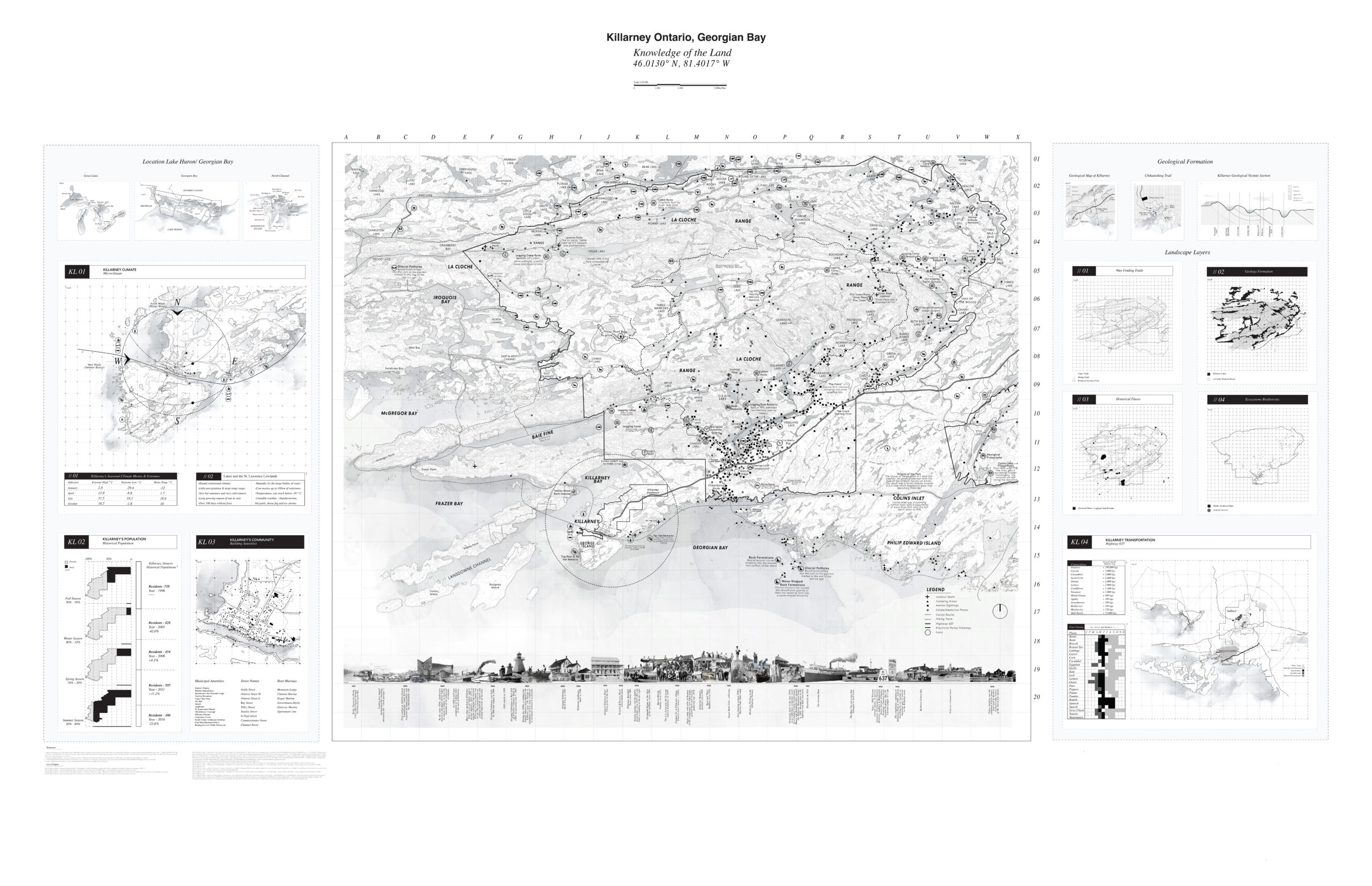
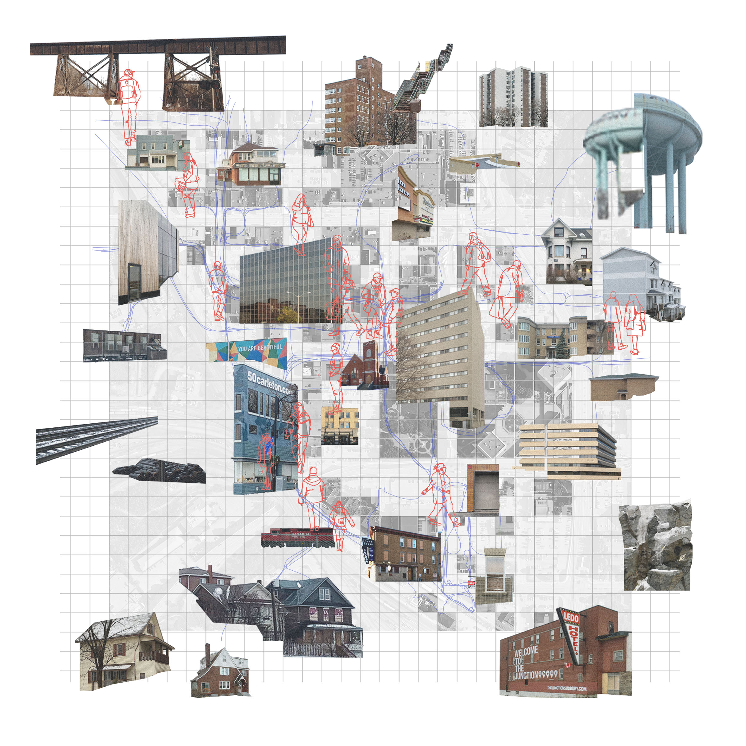
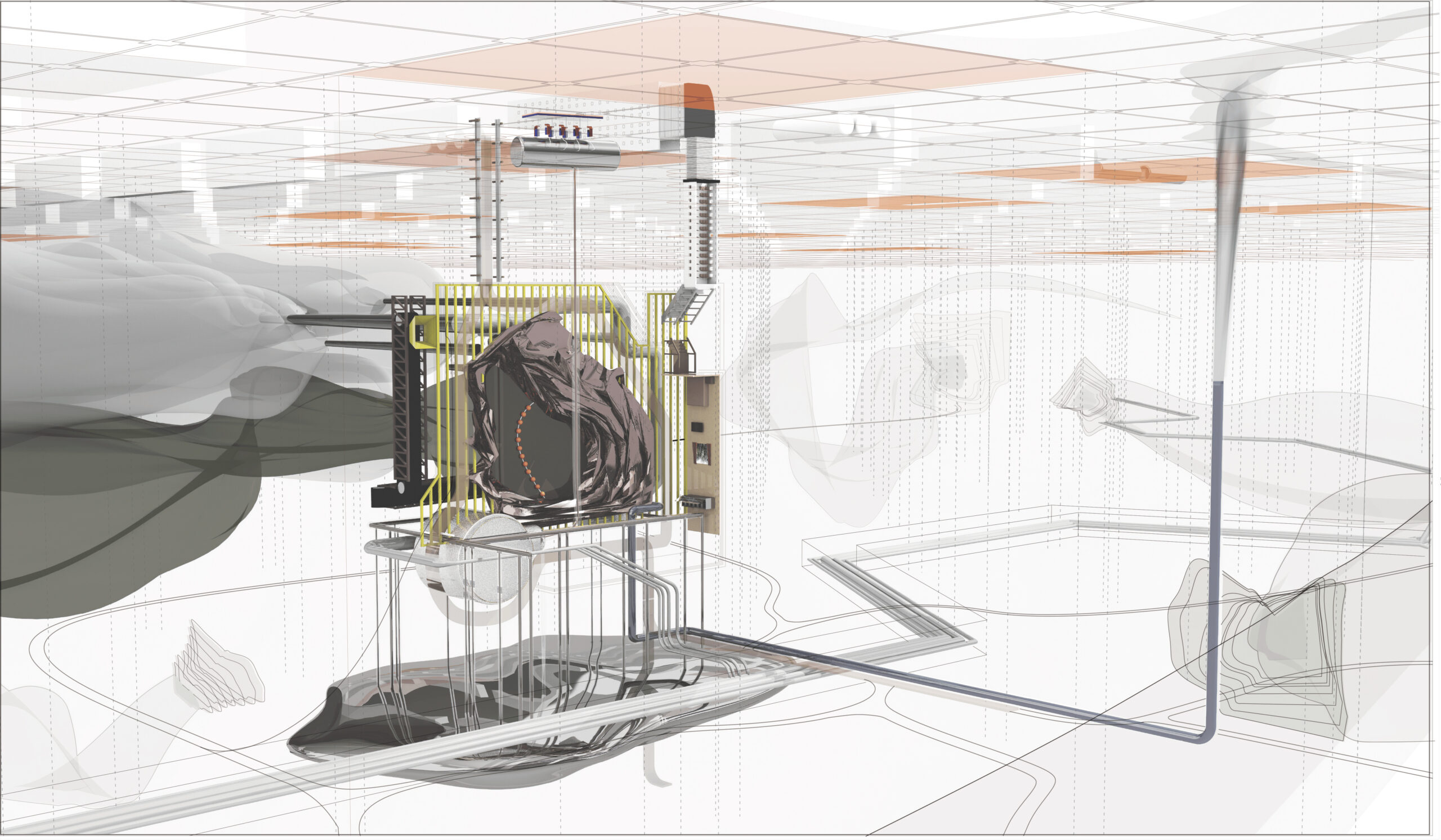
For this assignment, the students are asked to pursue self-directed exercises that culminate in a final work that operates critically within the representational modes of cartography. The choice of the project’s thematic focus, the physical scale probed, as well as the size, format and media employed are entirely up to the student and may include analogue and digital (2D or 3D) modes of making or a combination. Within this framework, “mapping” is interpreted in broad terms, encompassing the spectrum spanning from highly technical modes of geospatial representation to more intuitive or artistic forms of cartographic production, yet in all cases will be derived from substantial research on the issues being addressed and the opportunities and constraints of various cartographic approaches.
The Mapping Project is pursued in parallel the Mapping Essay (Assignment 2b) and the Mapping Process Documentation (Assignment 2c), which all inform and are informed by each other.


